
Keynote and plenary talks from renowned speakers
The program will include invited plenary lectures, contributed talks and poster sessions highlighting the latest latest research in Spatial Statistics.
Unfortunately we don't fully support your browser. If you have the option to, please upgrade to a newer version or use Mozilla Firefox, Microsoft Edge, Google Chrome, or Safari 14 or newer. If you are unable to, and need support, please send us your feedback.
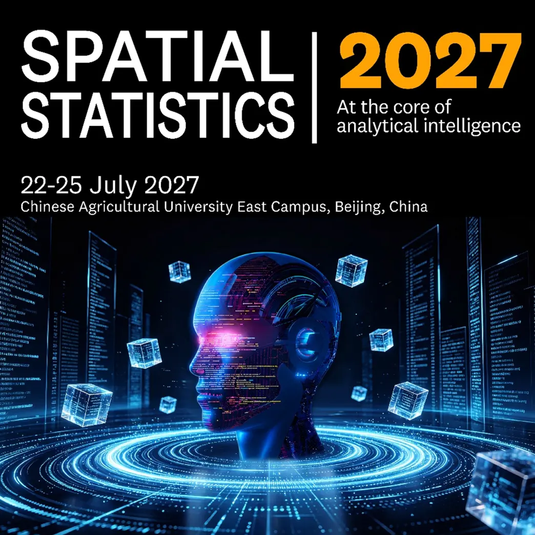
Chinese Agricultural University East Campus, Beijing, China 22-25 July 2027
Abstract Submission Deadline: 29 January 2027
Workshop Proposal Submission Deadline: 12 March 2027
Author Notification Deadline: 25 March 2027
Author Registration Deadline: 23 April 2027
Early bird Registration Deadline: 23 April 2027
During the Spatial Statistics 2027 conference in Beijing (China), specific attention is given to the important and unprecented bridge between spatial statistics and analytical intelligence. It embeds predictive modelling, artificial intelligence, real-time decision support systems and many more.
We live in an era often described as the age of data. Every day, billions of observations are recorded from satellites, environmental sensors, mobile devices, social networks, transportation systems, healthcare infrastructures, and digital platforms. Much information from these data is inherently spatial, while every decision ultimately affects places, communities, and environments. Spatial statistics provides the scientific foundation and means for our understanding and interpretation. It equips us with rigorous methods to model spatial dependence, quantify uncertainty, detect patterns, predict future scenarios, and distinguish genuine signals from random variation. In the end, it transforms geographic information into analytical intelligence—the capacity to support decisions that are both data-driven, context-aware and scientifically sound.
Analytical intelligence encompasses predictive modelling, machine learning, artificial intelligence, digital twins, and real-time decision support systems. These technologies reach their full potential when grounded in robust statistical principles. Spatial statistics bridges between sophisticated algorithms and reliable inference, ensuring that increasingly powerful computational methods remain interpretable, reproducible, and trustworthy. The integration of spatial statistics with artificial intelligence represents one of the most exciting frontiers in contemporary analytical intelligence. Machine learning excels at discovering complex patterns, while spatial statistical models provide principled approaches for incorporating spatial dependence, quantifying uncertainty, and producing interpretable results. Together, they enable a new generation of intelligent analytical systems capable of addressing challenges that are simultaneously scientific, societal, and strategic.
The program will include invited plenary lectures, contributed talks and poster sessions highlighting the latest latest research in Spatial Statistics.

Discover conference topics and learn about related events and how you can participate.

Choose from a variety of sponsorship and commercial options to raise your profile and position your company as a thought leader in the community.
More information coming soon.
Spatial & Space-Time Statistics
Space-time statistics: geostatistics, point patterns, estimation methods, large dimensions
Spatio/temporal modeling of points and objects
Discrete spatial variation & change-of-support problems
Spatial and spatio/temporal variability and dependence
Stochastic geometry, tessellation, point processes, random sets
Spatial non-stationarity, heterogeneity, and local modeling (e.g., GWR, MGWR)
3D/4D spatial statistics and dynamic voxel analytics
Measurement error and spatial data quality
Spatial Sampling, Monitoring & Data Quality
Spatial sampling design and survey optimization
Long-term spatio-temporal monitoring and change detection
Uncertainty quantification and error propagation in spatial data
Multi-source spatial data fusion and downscaling
Statistical methods for remote sensing inversion and data processing
Temporal, Spatial, and Spatio-Temporal Causal Inference
Temporal, spatial, and spatio-temporal causal inference frameworks
Spatial econometric causal evaluation & quasi-experimental designs
Counterfactual spatio-temporal modeling
Causal discovery in complex spatio-temporal systems
Process-guided and physics-informed statistical inference
Predictive Modeling & Extremes
Predictive modelling
Modeling and predicting of extremes
Digital twins and spatial analytics
Hierarchical spatial models
Spatial Analytical Intelligence (GeoAI) & Machine Learning
Geospatial Artificial Intelligence (GeoAI)
Hybrid AI and statistical models
Spatial deep learning & Spatial machine learning
Spatial statistical learning
Reinforcement learning in spatial systems
Natural language processing for spatial challenges
Neural networks in space
Decision Support & Explainable Systems
Decision support systems
Explainable AI for spatial decision-making (XAI)
Spatial optimization and scenario simulation
Environment, Hazards & Resilience
Environmental risk assessment & eco-environmental toxicity
Natural hazard assessment, disaster risk reduction, and resilience
Climate extreme impacts and vulnerability modeling
Natural Resources, Energy & Carbon Dynamics
Carbon source/sink spatial accounting and "Double Carbon" goals
Mineral and geological resources estimation & 3D spatial modeling
Renewable energy potential (wind, solar) & spatial site selection
Natural resource accounting and ecosystem assets evaluation
Land Use, Agriculture & Cropland Protection
Land-use and land-cover change (LUCC) modeling & simulation
Cropland dynamic monitoring, quality evaluation, and yield estimation
Food security and agricultural production spatial analytics
Territorial space functional zoning and optimization
Land degradation, desertification, and restoration analytics
Forest, Grassland & Ecological Systems
Forest and grassland dynamics, biomass estimation, and canopy structure modeling
Grassland degradation, overgrazing assessment, and pastoral ecosystem health
Ecological restoration analytics (e.g., afforestation, returning farmland to forest/grassland)
Integrated analytics of terrestrial-ecological systems (mountain-river-forest-farmland-lake-grass-sand)
Ecological protection redlines and ecosystem service valuation
Wildfire prediction, forest disease/pest monitoring, and ecosystem risk
Water Resources, Atmosphere & Marine Systems
Eco-hydrology, watershed management, and water quality spatial modeling
Atmosphere, air quality mapping, and climate change modelling
Land-sea coordination and coastal zone spatial management
Physical oceanography & marine spatio-temporal statistics
Marine ecosystem health, fisheries, and polar ice sheet dynamics
Urban, Transport & Smart Cities
Smart cities & Sustainable urban development
Urban growth modelling & Urban heat island/microclimate
Transportation and mobility analytics & Traffic forecasting
Human mobility, spatio-temporal micro-behavior, and accessibility
Health & Environmental Epidemiology
Spatial epidemiology & Disease mapping
Infectious disease surveillance & Pandemic modelling
Public health analytics & Environmental health
Spatial Economics, Rural & Social Dynamics
Spatial econometrics and regional inequality
Rural revitalization, regional interaction, and spatial transformation
Demographic patterns, aging, and population mobility

Key Laboratory of Remote Sensing of Agricultural Disasters, Ministry of Agriculture and Rural Affairs农业农村部农业灾害遥感重点实验室
Spatial Statistics 2027 Conference A4 Flyer
Spatial Statistics 2027 Conference PPT Slides
Spatial-Statistics-2027-Banner-1200x630opens in new tab/window
Spatial-Statistics-2027-Email-Banner-619x88opens in new tab/window
Spatial-Statistics-2027-ERD-Banner-800x418opens in new tab/window
Spatial-Statistics-2027-SUBMIT-Banner-800x418opens in new tab/window
Spatial-Statistics-2027-SPEAKER AND TALK TITLE-Banner-800x418opens in new tab/window
Spatial-Statistics-2027-IDENTITY-Banner-800x418opens in new tab/window
Spatial deep learning
Spatial statistical learning
Neural networks in space
Large language models in space
Natural language processing for spatial challenges
Spatio/temporal modeling of points and objects
Causality in space and time
Modeling and predicting of extremes
Space-time statistics: geostatistics, point patterns, estimation methods, large dimensions
Discrete spatial variation
Spatial and spatio/temporal variability and dependence
Stochastic geometry, tessellation, point processes, random sets
Environment: soil, water, atmosphere
Interface of neural computing and spatial/spatio-temporal statistics
Climate system modeling and observations
Health e.g. epidemiology, geohealth and global health
Spatially-explicit ecological models
Plant and animal epidemiology
Quantifying the spatial extent of hazards and risk
Crime, poverty, liveability mapping
Space-time statistics, e.g. geostatistics, point patterns, estimation methods, large dimensions
Spatial deep learning
Inverse modeling
Modeling of extremes
Stochastic geometry, tesselation, point processes, random sets
Causal statistical modeling
Trajectory/movement modeling
Climate system modeling and observations
Spatially-Explicit Ecological Models
Health e.g. epidemiology, geohealth and global health
Air, Water and Soil spatio-temporal variability
Plant and animal epidemiology
Quantifying the spatial extent of hazards and risk
Crime and poverty mapping
Space/time econometrics
Interface of Neural Computing and Spatial/Spatio-Temporal Statistics
Inferring Movement and Behavior from Telemetry
Space-time statistics, e.g. geostatistics, point patterns, estimation methods, large dimensions
New spatial data sources, e.g. social media, Google, citizen science, crowd source maps
Stochastic geometry, tesselation, point processes, random sets
Causal statistical modeling
Trajectory/movement modeling
Predictive modelling
Spatial data quality and uncertainty
With these methods being applied in a range of relevant domains. For the theme of the conference, we particularly invite contributions in:
Image analyses, e.g. satellite images
Traffic and transport
Global change
Ecology, e.g. dispersion, migration, colonisation and invasion of species
Plant and animal epidemiology, e.g. emerging epidemics
Hazards, disasters and risks, e.g. outbreaks, risk mapping
Crime and poverty mapping
Health e.g. epidemiology, geohealth and global health
Spatial econometrics
Space-time statistics
Models for point processes
Lattice models
Geostatistics
Copulas in space and time
Spatial extremes
Change-point analysis
Estimation methods
Issues of scale: upscaling and downscaling methodology
Stochastic geometry, random sets and stereology
Causal statistical modeling
Image analysis (e.g. satellite sensor image time-series, DNA data, brain imaging)
Predictive modelling
Spatial data quality and uncertainty
New spatial data sources (e.g. social media, Google, citizen science, crowd sourced data)
Large dimensional big spatial data
With these methods being applied in a range of relevant domains. For the theme of the conference, we particularly invite contributions in:
Statistical aspects of epidemiology
Geo-Health and One Health
Plant and animal diseases
Health and Global change
Zoonotic and vector-borne diseases (e.g. emerging epidemics)
Hazards, disasters and risks (e.g. outbreaks, risk mapping)
Ecology (e.g. dispersion, migration, colonisation and invasion of species)
Spatial econometrics
Space-time statistics (e.g. point patterns models, estimation methods, large dimensions, scale issues)
Spatial data quality and uncertainty
Parameter estimation in PDEs
Stochastic geometry, tesselation, point processes, random sets
Spatial econometrics
New spatial data sources (e.g. big, data, social media, Google, citizen science, crowd source maps)
Image analyses (e.g. satellite images time series, DNA data, nano particles, nervous systems)
Predictive modelling
Tipping points (e.g. sea-level rise, socio-economic shifts)
Hazards, disasters and risks (e.g. tsunamis, earthquakes, landslides, air pollution levels)
Global change (e.g. stochastic weather generators)
Health, medical and epidemiology
Plant and animal epidemiology (emerging epidemics)
Ecology (e.g. dispersion, migration, colonisation and invasion of species)
Spatial Statistics 2013 Conference
Spatial Statistics for Mapping the Environment (2011)